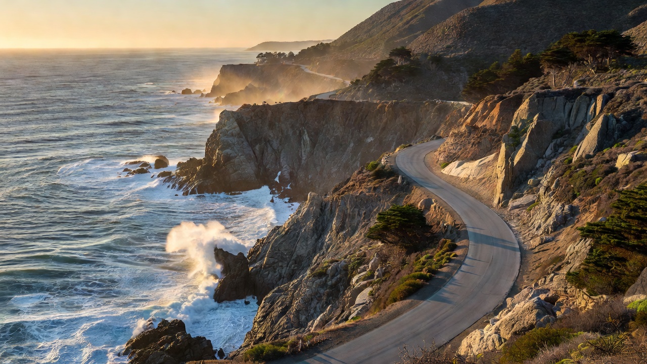
The Pacific Coast Highway (PCH), designated mostly as California State Route 1, represents the quintessential American road trip. Stretching for over 600 miles along the western coastline of the United States, this ribbon of asphalt weaves past towering redwood forests, sheer drop-offs into crashing surf, and laid-back beach towns. It is a journey that celebrates the sheer scale and geographical diversity of the Californian coastline.
Overview and Route
While the entire route runs from Dana Point in southern California up to Leggett in the north, the most celebrated stretch sits between San Luis Obispo and Monterey, encompassing the legendary Big Sur. Driving north to south is highly recommended. By keeping your vehicle on the ocean side of the road, you secure unobstructed views of the Pacific and easier access to the numerous coastal pull-outs without needing to cross opposing traffic.
The roadway through Big Sur is notoriously winding, carved directly into the steep flanks of the Santa Lucia Mountains. Drivers must remain alert, as the route is characterized by blind corners, steep gradients, and frequent shifts in elevation.
Key Highlights
No trip along the PCH is complete without crossing the Bixby Creek Bridge. Completed in 1932, this concrete arch bridge is one of the most photographed features on the West Coast, appearing to defy gravity as it spans a deep, rugged canyon. Just a short drive south lies Julia Pfeiffer Burns State Park, home to McWay Falls, an exquisite 80-foot waterfall that drops directly onto an untouched beach and flows into the ocean.
Further north, the Monterrey Peninsula offers the famous 17-Mile Drive (a tolled section requiring a small fee), showcasing ancient Cypress trees and world-renowned golf links. Towards the southern end of the most scenic stretch, Morro Bay introduces visitors to Morro Rock, a colossal volcanic plug sitting just offshore.
Driving Tips and Vehicle Choice
Fuel stations along the Big Sur stretch are sparse and often charge a premium due to their isolation. It is vital to fill your tank in Monterey if heading south, or Cambria if heading north. Mobile network coverage is practically non-existent for long stretches through the mountains; downloading offline maps prior to departure is an absolute necessity.
As for the vehicle, a comfortable sedan or mid-sized SUV is ideal. While convertibles are romanticized in pop culture, the coastal fog and brisk ocean winds often make open-top driving surprisingly chilly, even in summer. Ensure your brakes are in excellent condition, as the continuous descents can lead to brake fade.
Best Time to Visit
September and October are widely considered the prime months for this drive. During late summer and early autumn, the notorious "June Gloom" (a thick marine layer of fog that blankets the coast) has usually dissipated, leaving clear, sunny skies and mild temperatures. Spring is also beautiful, offering vibrant wildflower blooms, though road closures due to winter mudslides can sometimes linger into the early spring months.
Pros and Cons
- Pros: Unmatched coastal scenery; excellent infrastructure with designated viewing points; diverse environments ranging from beaches to redwood forests.
- Cons: Highly susceptible to road closures from landslides (always check conditions via Caltrans before departing); can become heavily congested with slow-moving recreational vehicles during peak summer months; limited cell service.